Berlin S-Bahn – Lines, Tickets & Travel Tips

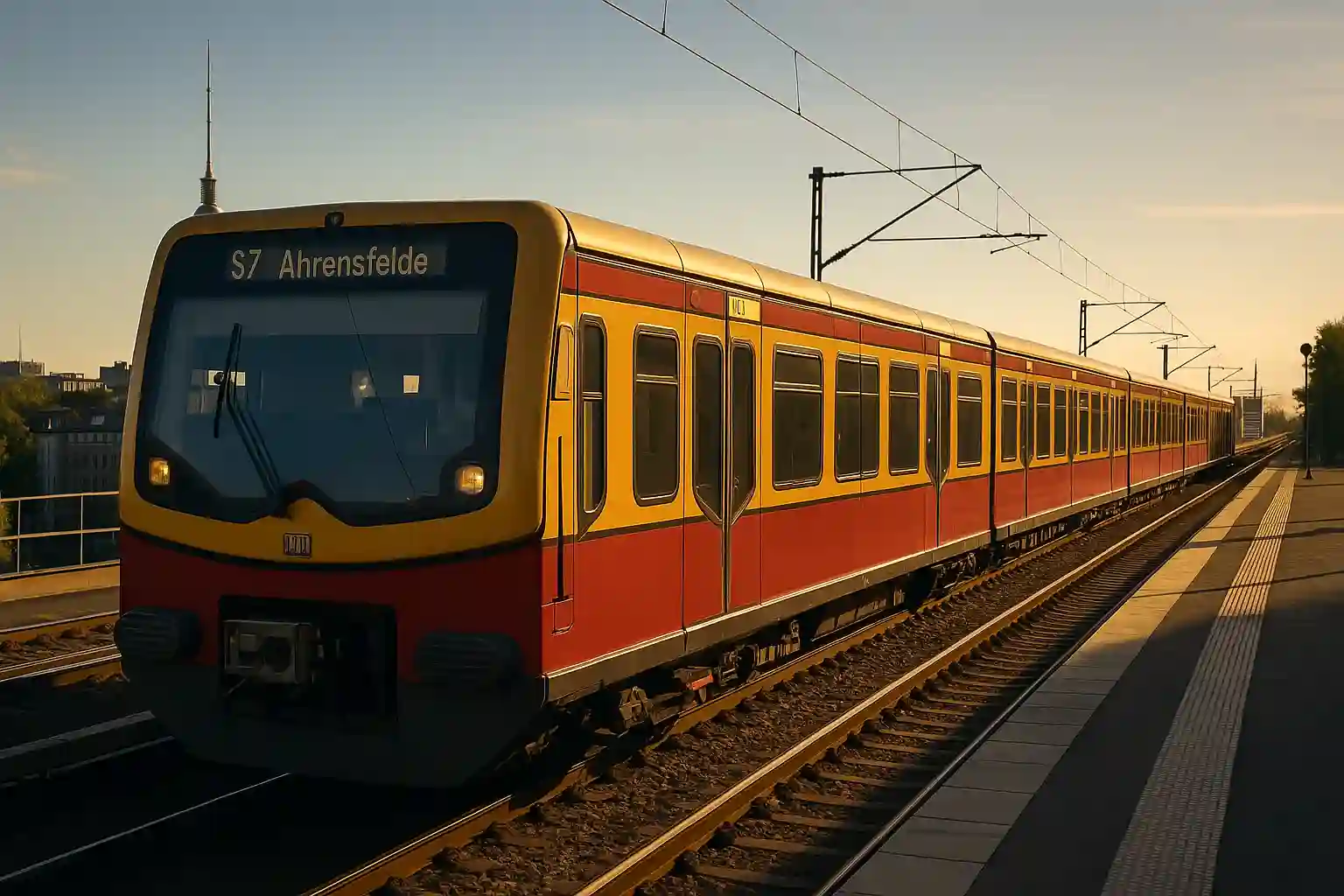
Berlin’s S-Bahn is the fastest way to cover long distances across the city. With its yellow-red trains and dense network, it links central hubs with outer districts and airports.
Use AB/ABC tickets or a Berlin WelcomeCard. Trains run every 5–10 minutes in peak hours, with the Ringbahn (S41/S42) circling the city in about one hour. Check live departures in the BVG app — disruptions and construction work are common.
Is the S-Bahn right for you?
- Fast cross-city: Direct east–west (S3, S5, S7, S9) and north–south (S1, S2, S25) lines.
- Ringbahn: S41/S42 circle Berlin in ~60 minutes — great for orientation.
- Airport access: S9 to BER Airport via city center.
- Tickets & zones: AB for city, ABC for outskirts/airport; WelcomeCard covers all.
- Accessibility: Most stations with elevators/ramps; check ahead for works.
Quick Overview
- Coverage: S-Bahn lines form Berlin’s backbone — east–west, north–south, plus the Ringbahn.
- Frequency: Every 5–10 minutes on core routes; less late evenings or weekends.
- Key lines: S41/S42 Ringbahn, S3/S5/S7/S9 east–west, S1/S2/S25 north–south.
The S-Bahn Lines (what each one’s for)
-
Ringbahn (S41/S42)
Circles Berlin in ~60 minutes. Great for orientation and connections at almost every hub station.
-
East–West Axis (S3/S5/S7/S9)
Main corridor through the city, linking Charlottenburg, Hauptbahnhof, Alexanderplatz and Ostkreuz.
-
North–South Axis (S1/S2/S25)
Cuts through the center from Gesundbrunnen to Südkreuz, passing Friedrichstraße and Potsdamer Platz.
-
Airport Line (S9)
Direct link between BER Airport and the city center via Ostkreuz and Alexanderplatz.
-
Suburban Lines
Connect outer districts and suburbs with the Ringbahn and city core — useful for day trips and commuters.
-
Night & Replacement Services
When works or closures occur, buses replace trains. At weekends, core S-Bahn lines run through the night.
Best S-Bahn Lines for Visitors (quick wins)
- S41/S42 Ringbahn: Loops the city in ~60 minutes. Great for orientation and station-hopping at hubs.
- S5/S7/S9 East–West: Zoo ↔ Alexanderplatz ↔ Ostkreuz. Passes Tiergarten, Hauptbahnhof, Museumsinsel area.
- S1 North–South: Frohnau ↔ Wannsee. Stops at Gesundbrunnen, Friedrichstraße, Potsdamer Platz.
Planning Tools
- BVG app: live S-Bahn departures, platform info, disruptions and rail replacement (SEV).
- Station displays: show next arrivals, delays and platform changes.
- Network maps: S-Bahn line & zone maps help with AB/ABC planning before you go.
- Google/Apple Maps: fine for rough routes — always cross-check in the BVG app.
